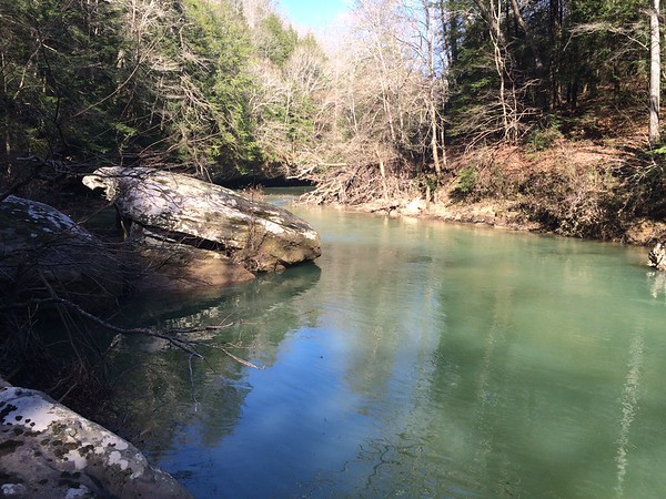
Brushy Creek
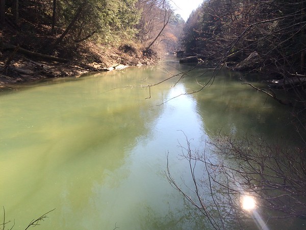
Brushy Creek
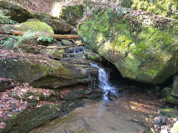
Waterfall #1

Waterfall #2
Waterfall #3
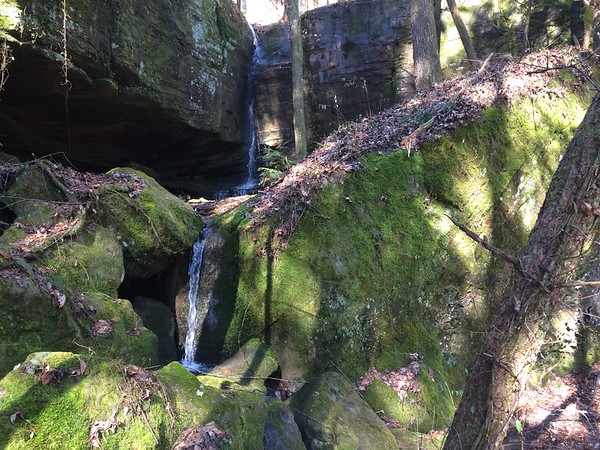
Waterfall #4

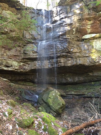
Sougdahoagee Falls, approximately 60 feet of water falling almost 50 feet. This creek was the boundary line between the Cherokees and the Creeks in the early 1800's.
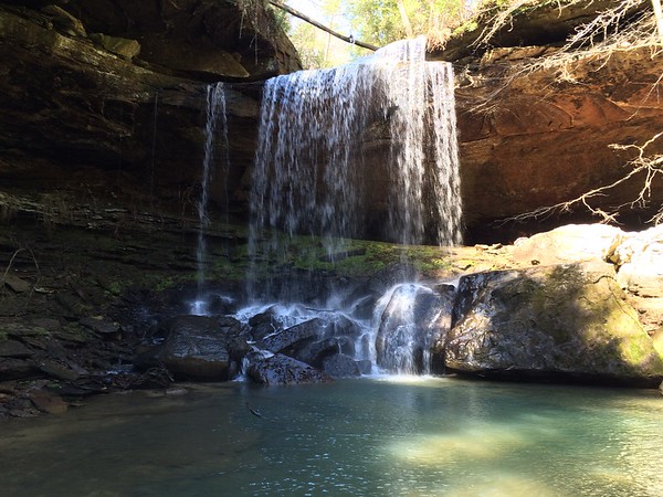
Sougdahoagee Falls
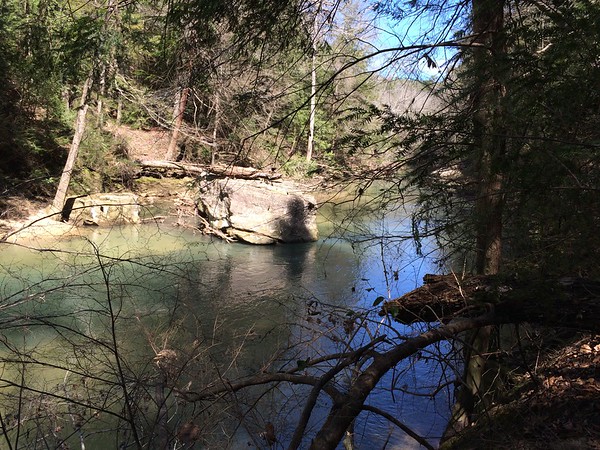
Brushy Creek, notice how high the water has been to have left that log on top of that boulder.
Last edited:


