| LIFE Interactive precipitation rate model from European Centre for Medium-Range Weather Forecasts. (Hurricane Ian)

TerryP

Staff
I ran across this site this morning. Pretty damn cool looking at the forecast models from three hours to three days from now. The regional options about half way down the page gives a lot of insight.

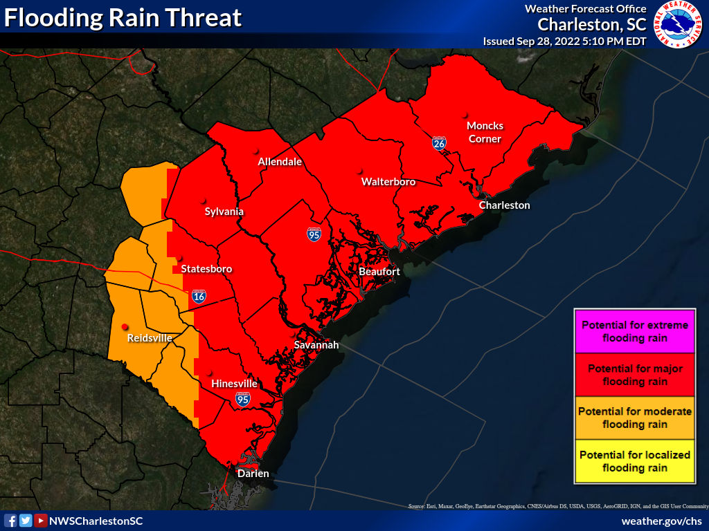
I'm gonna get some rain.

 
This is going to be fun. When I looked yesterday the tide was already going to be up over half of a foot. (want to say 9".)

Fdxi2gRUAAAGuQZ
 
And on continuing note...

Friend's daughter and their wedding plans...still full bore on. They're planning on starting a 200lb pic early tomorrow morning...last count, 15 chickens being cooked, somewhere, tomorrow.

Terry doesn't do wedding prep.
 
I like this website for power outages. Very timely information, updates every few minutes
They're reporting Santee Cooper, Dominion, and Berkley. With Dominion, pulling directly from their outage map, which, quite frankly, I don't quite understand.

600+ outages and over 31k affected. What are they calling an outage? Five without power for every one outage? While I don't have power their map doesn't reflect that.

The numbers don't add up to me. 🤷‍♂️
 
Back
Top Bottom